Client
Role
#
Broadcast
#
3D Animation
#
Simulation
#
AR VR
Coastal Erosion Explainer
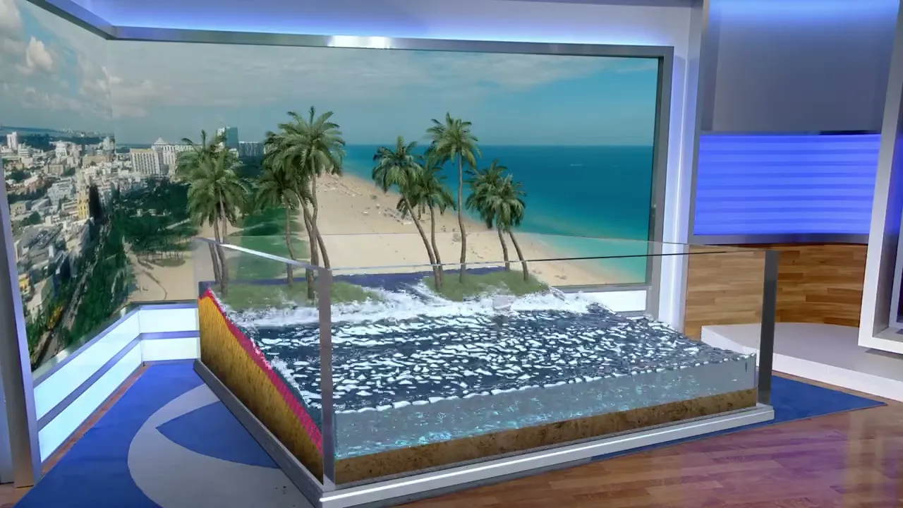
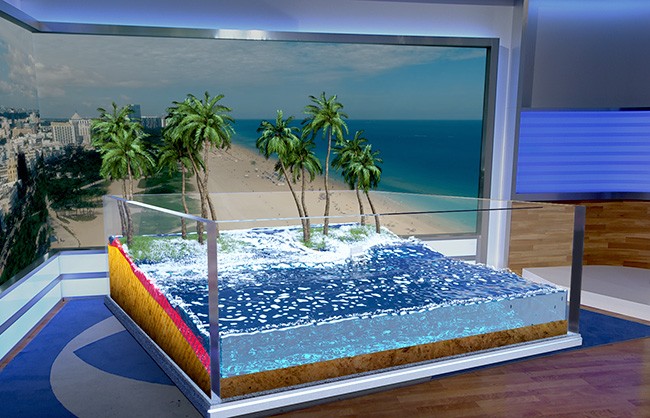
Coastal erosion is accelerating — what once took decades now happens in years. For The Weather Company, I developed a simulation-driven 3D explainer to make that invisible, slow-moving process visible and understandable to a broadcast audience. Built for both traditional broadcast and live augmented reality, the project combined high-fidelity fluid simulation with a modular pipeline that allowed stations nationwide to adapt the visualization to their own coastal regions.
The Challenge
Simulating a physically believable natural process — then making it perform in two completely different production environments.
Coastal erosion involves the interaction of water, terrain, debris, and time — none of which are simple to simulate cleanly at broadcast scale. The explainer needed to feel scientifically grounded and visually compelling for a general audience while also functioning as a real-time AR asset inside The Weather Company's MAX AR platform. That meant developing a high-fidelity simulation pipeline and then solving the performance constraints of deploying it live — two conflicting technical requirements that had to be resolved within a single production.
The Approach
A simulation-driven terrain system built for accuracy, modularity, and real-time performance.
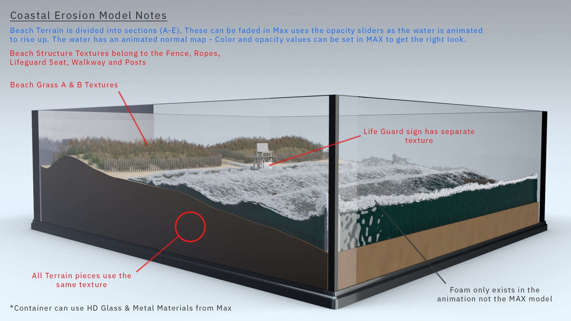
Terrain was generated using Loft NURBS and controlled through Xpresso, enabling dynamic adjustment of erosion levels across the scene. These inputs drove responsive fluid simulations developed in RealFlow and X-Particles — creating a physically believable interaction between water movement, terrain breakdown, and debris behavior. A custom HUD overlay was introduced to highlight key areas of change, making the simulation more readable and reinforcing the underlying data driving the visuals.
To meet the performance requirements of the MAX AR platform without sacrificing visual quality, I developed a hybrid pipeline that blended interactive real-time 3D elements with pre-rendered simulation sequences. This approach preserved the fidelity of the fluid simulation while ensuring the asset could be deployed live on air without performance issues.
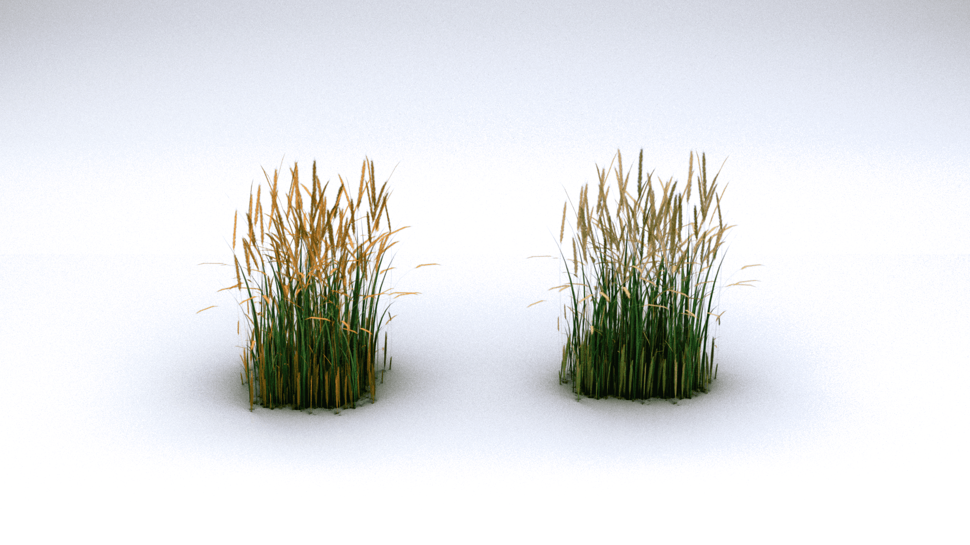
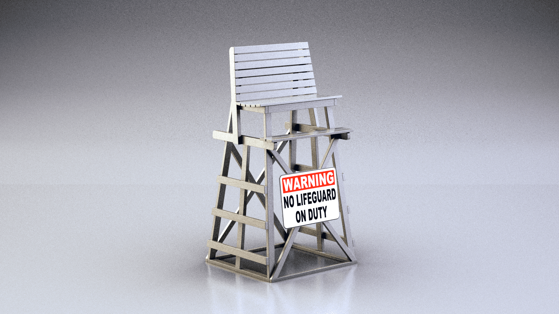
The system was also built to be modular — allowing broadcasters to customize the visualization for different coastal regions by adjusting terrain, foliage, and environmental details to match local geography. This gave stations across the country a flexible, regionally accurate tool rather than a one-size-fits-all explainer.
Working as Lead 3D Artist and AR scene lead, I managed the full production scope — from initial simulation development and terrain rigging through AR optimization, modular system build, and final nationwide deployment.
High-detail fluid and erosion simulations recreate the natural interaction between water, terrain, and debris — achieving physically believable motion while maintaining visual clarity at scale.
RealFlow fluid simulation driving wave propagation, foam accumulation, and debris scatter across a scaled coastal terrain model.
Cinema 4D NURBS spline network controlling terrain deformation in sync with the fluid simulation — allowing precise, art-directable adjustments to shoreline geometry and wave interaction zones.
The Impact
A single production that became a flexible broadcast tool deployed across the country.
The final explainer was distributed across multiple stations nationwide, giving meteorologists a visually compelling and scientifically grounded tool for explaining coastal erosion to their audiences. The modular build meant each station could tailor the visualization to their region — extending the reach and relevance of a single production across diverse markets. The hybrid pipeline developed for this project also established a reusable approach for balancing simulation fidelity with real-time AR performance — a solution applicable across future broadcast visualization work.
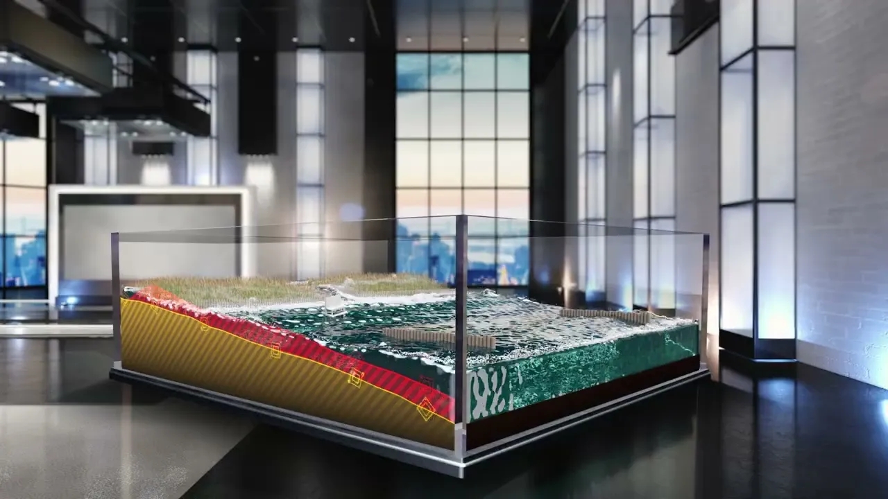
Custom After Effects UI panel built from a rendered terrain profile — animates in lockstep with the 3D simulation to display real-time shoreline change as the erosion progresses.
DISCOVER MORE